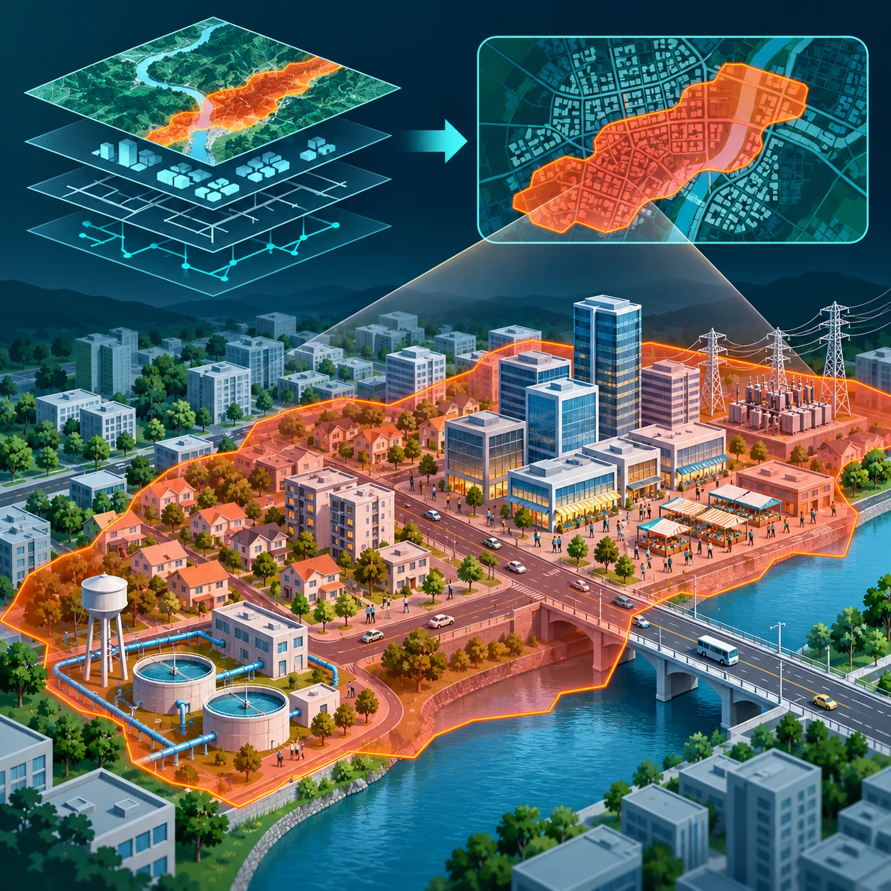
 People + buildings + infrastructure
01 / EXPOSURE
What is in harm’s way?
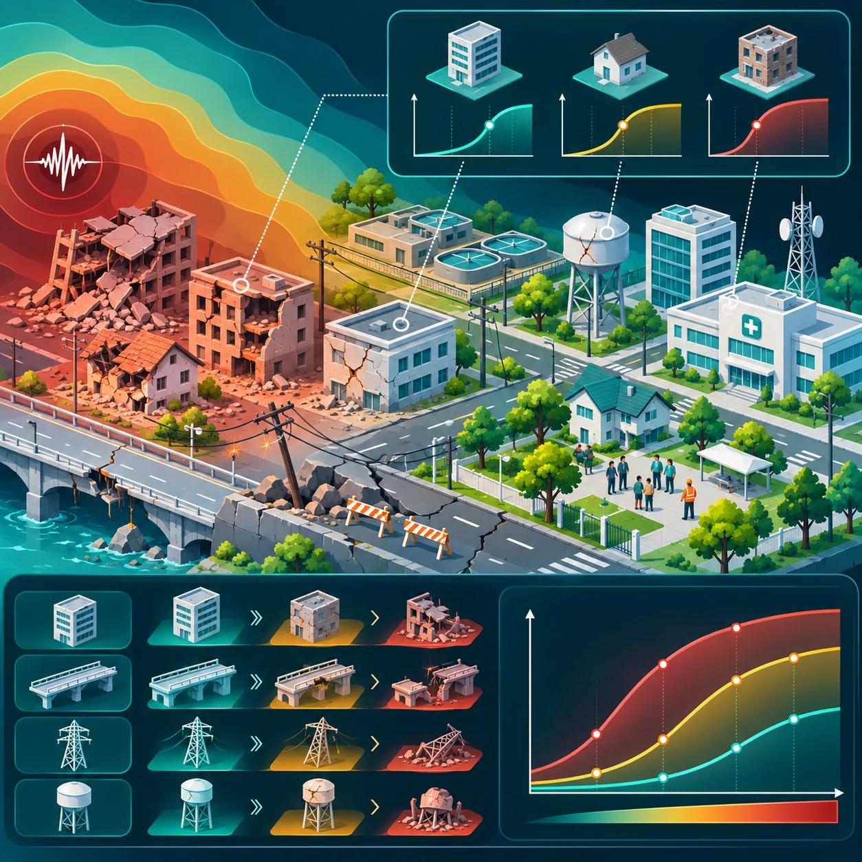
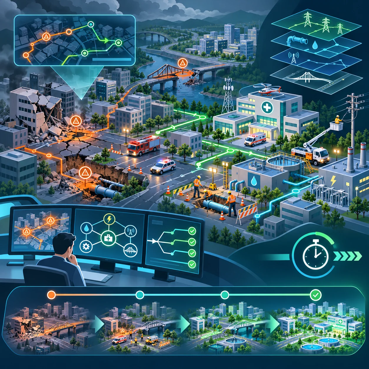
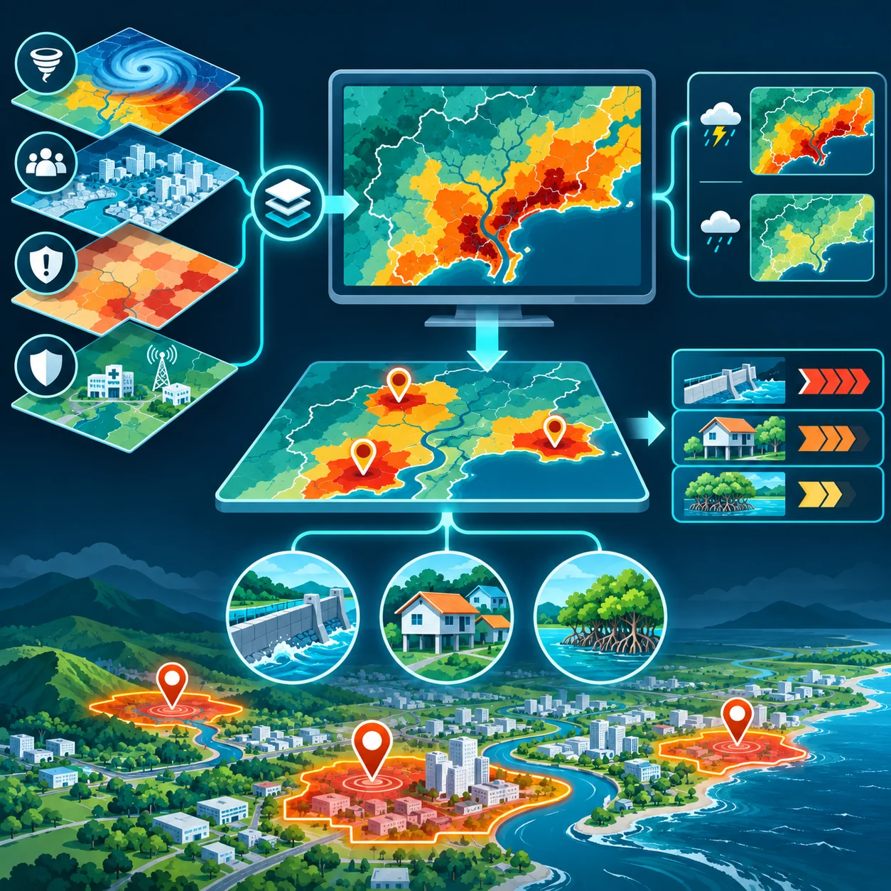
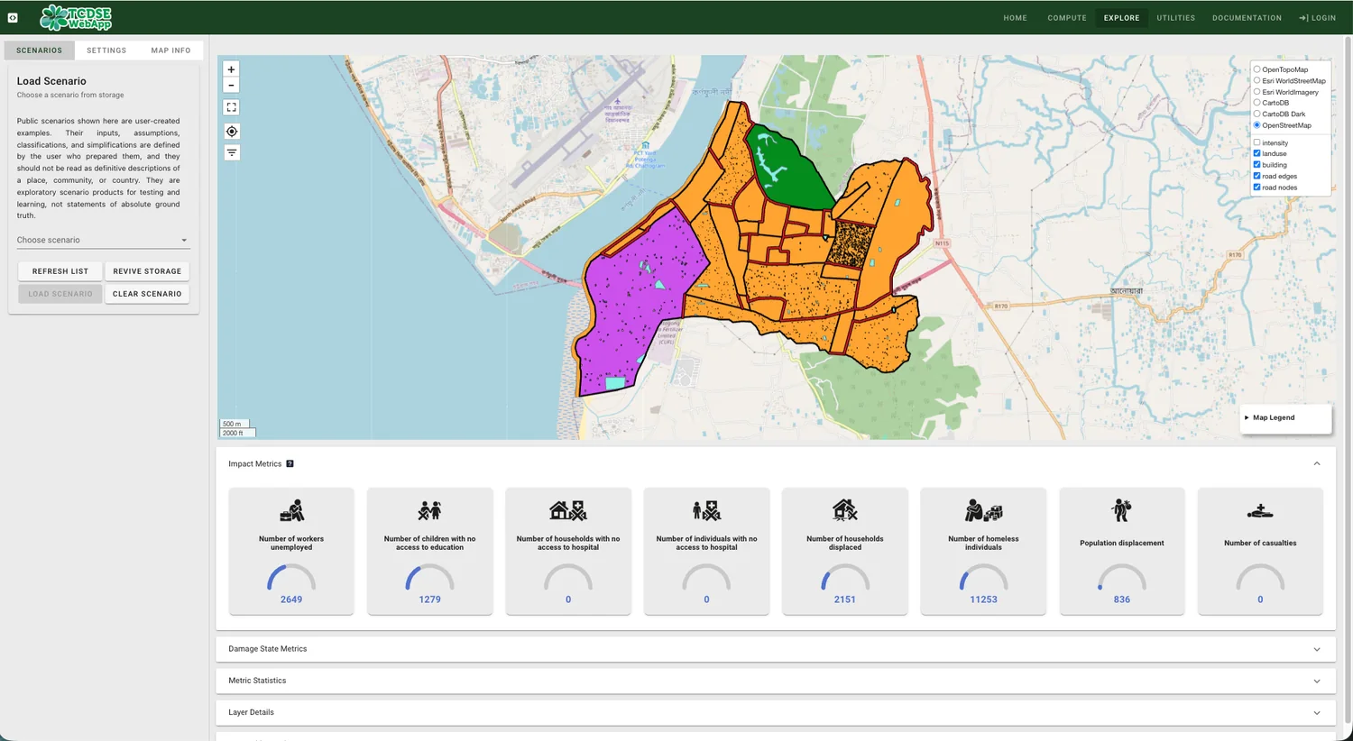
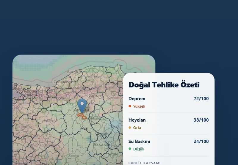
We create a location-based inventory of people, buildings, infrastructure and economic activity, then connect it with current and future hazard scenarios.
You receive
- Exposure database
- Asset and population maps
- Scenario-ready GIS layers