Where is our information?
We bring operational, open and geospatial data into a consistent structure with clear metadata and access rules.
OutputA searchable data catalogue, spatial database or shared GIS workspace
We design GIS platforms, models and dashboards that turn scattered location data into a shared view of what is happening, what may change and where to act
Each engagement connects the decision you need to make with the data, analysis and interface needed to support it
We bring operational, open and geospatial data into a consistent structure with clear metadata and access rules.
OutputA searchable data catalogue, spatial database or shared GIS workspace
We combine spatial analysis, indicators and models to reveal patterns, relationships and priority areas.
OutputReproducible analyses, thematic layers and decision-ready indicators
We build interactive maps and simulation tools so teams can compare alternatives and test assumptions.
OutputWeb maps, scenario models and interfaces for non-technical users
We translate complex spatial results into clear dashboards and reports for technical teams and decision-makers.
OutputInteractive dashboards, map services, exports and documented handover
These platforms show how we combine spatial data, modelling and software around a defined user need
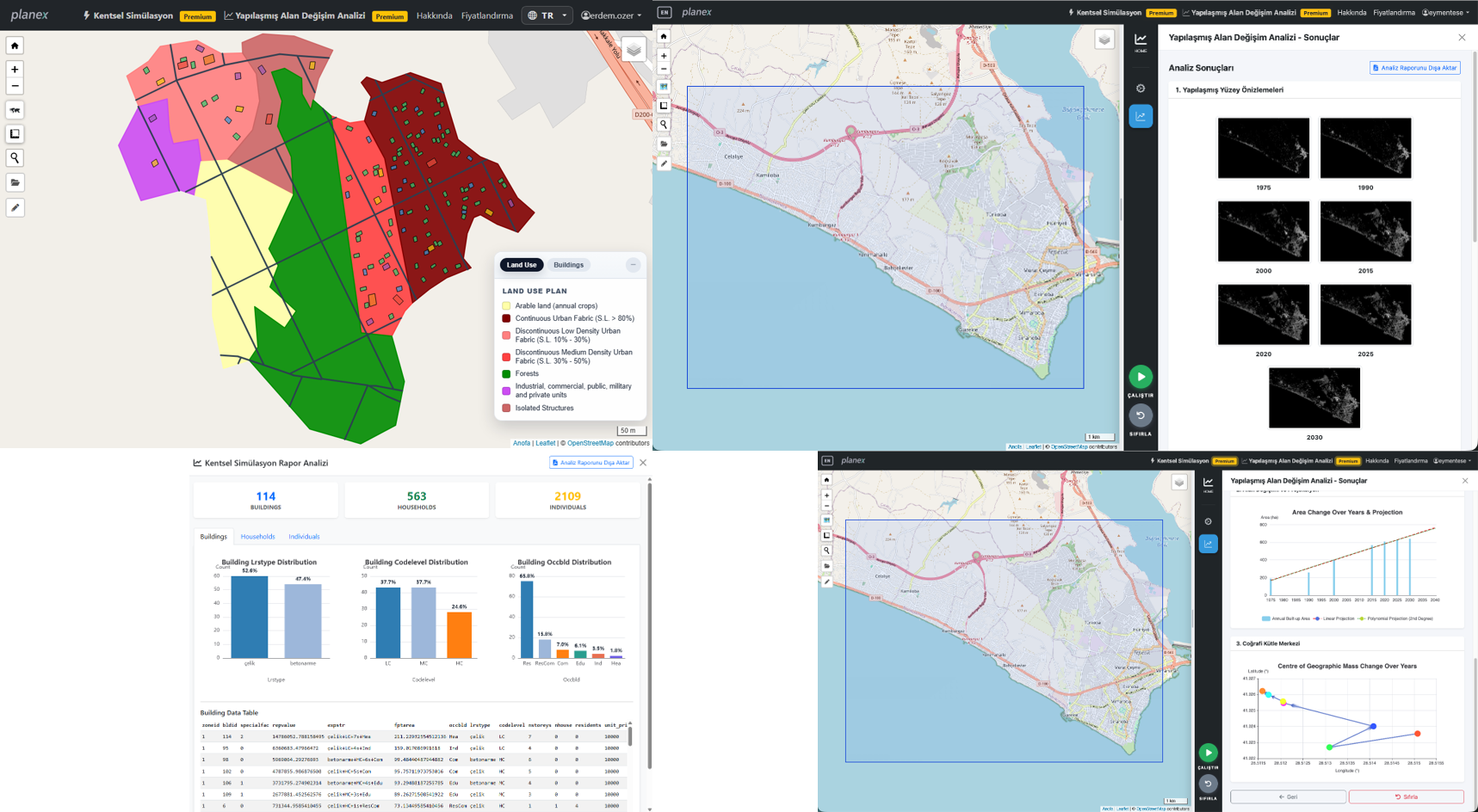
Generate and compare urban development scenarios, explore built-up change and evaluate spatial and socio-demographic outcomes.
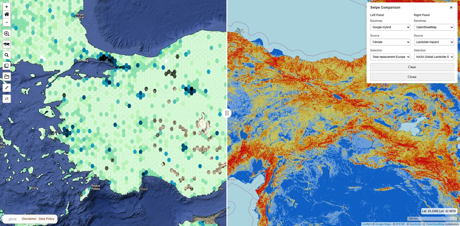
Explore Planex →Explore public geospatial layers, compare map services, draw and measure areas, and export results in one browser-based workspace.
Explore GeoX →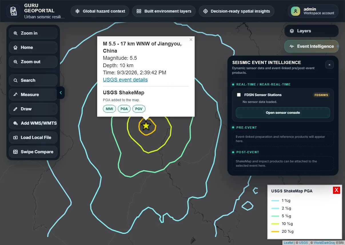
Connect hazard analytics, sensor data, AI-supported inference and recovery intelligence across preparedness, event sensing and recovery.
Explore GURU →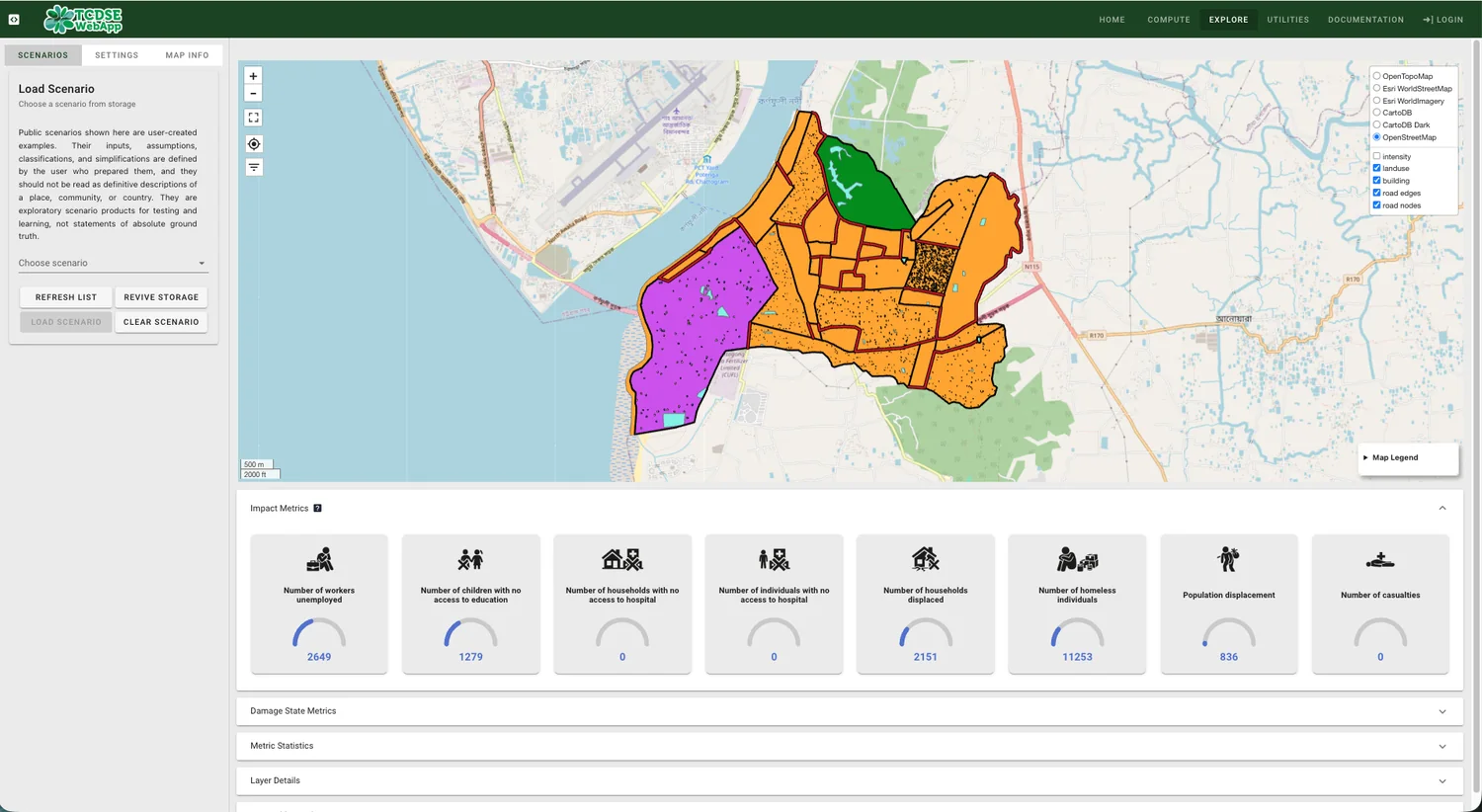
Explore how future urban development and multiple hazards interact, with a human-centred view of exposure and impact.
Explore application →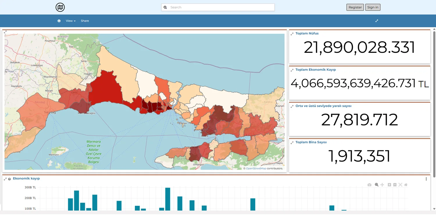
Bring datasets, maps, documents and dashboards together to communicate regional earthquake risk and support shared use.
Explore platform →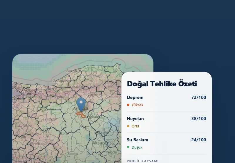
Review building and location-level physical risk, understand hazard context and compare priorities across a portfolio.
Explore PerilX →Our current and completed R&D projects connect scientific methods with software that can be tested, used and developed further
TÜBİTAK 1507 · SME R&D 2024/1 Call
Product →EUREKA Network / TÜBİTAK 1719 · Disaster Resilience, Response and Recovery 2024 Call
Platform →EU-supported UDENE Open Call #2 · 2025
Project reference →TÜBİTAK 1501 · Industrial R&D 2025/2 Call
UCL internal fund · Tomorrow’s Cities continuation
Application →Tell us about the decision, users and data sources your project needs to connect