What data exists?
Inventory sources, owners, formats, licences, coordinate systems and update cycles.
OutputA data register, gap assessment and agreed priority list
We turn scattered geospatial, organisational and open data into a documented foundation that teams can trust, update and connect to their daily tools
We agree what needs to be managed, who is responsible and how each dataset will reach its users before building the infrastructure
Inventory sources, owners, formats, licences, coordinate systems and update cycles.
OutputA data register, gap assessment and agreed priority list
Resolve inconsistent fields, duplicate records, geometry errors and missing metadata.
OutputA shared data model, validation rules and quality report
Link spreadsheets, databases, field observations, APIs and open sources through repeatable processes.
OutputDocumented pipelines, spatial databases and scheduled transformations
Set role-based access and deliver information through catalogues, services, maps and exports.
OutputA maintainable catalogue or platform with practical team handover
These examples show how governed datasets can support discovery, analysis, dashboards and public communication
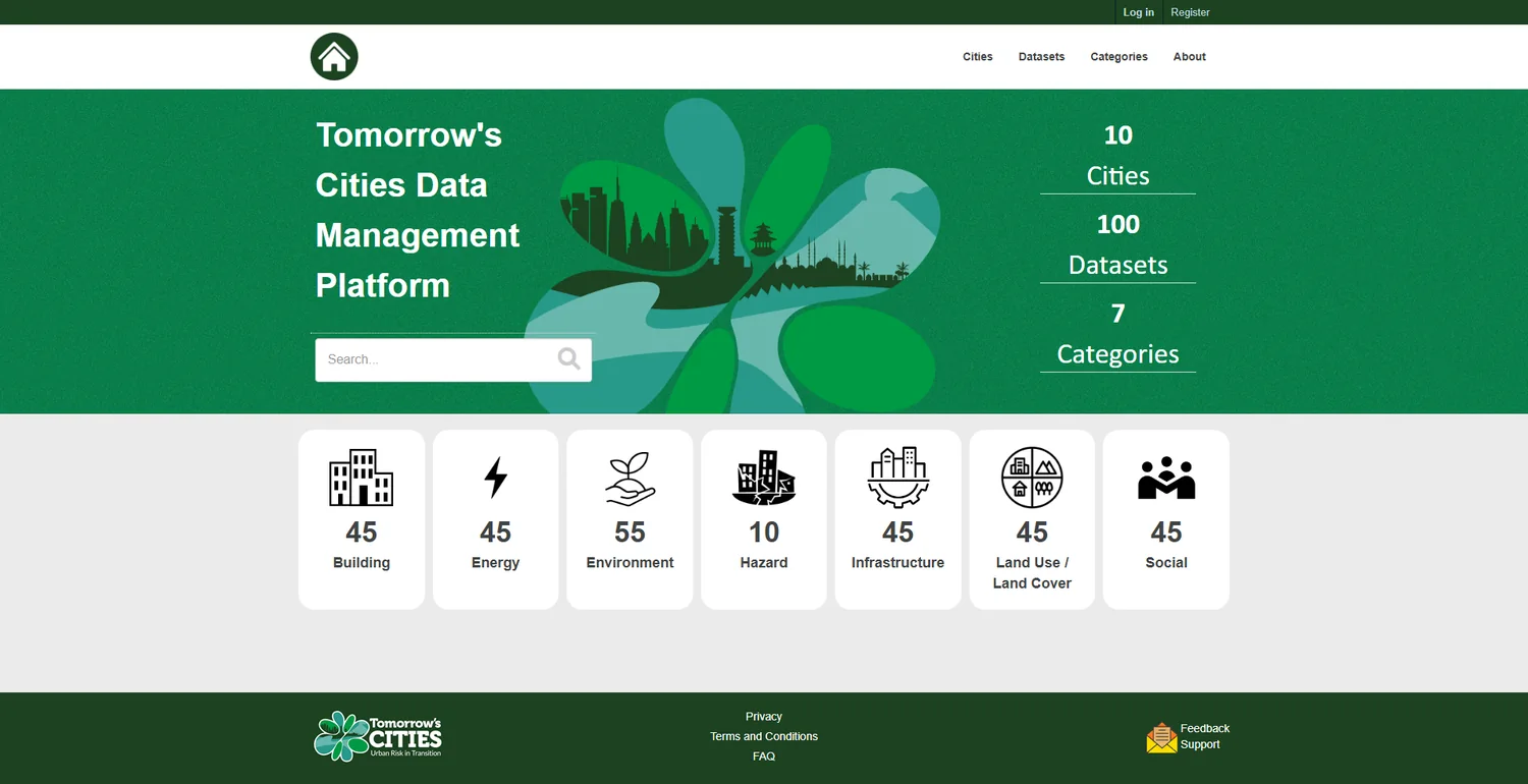
Organises multi-city research datasets by theme with searchable metadata, clear provenance and a shared route to discovery.
Explore data platform →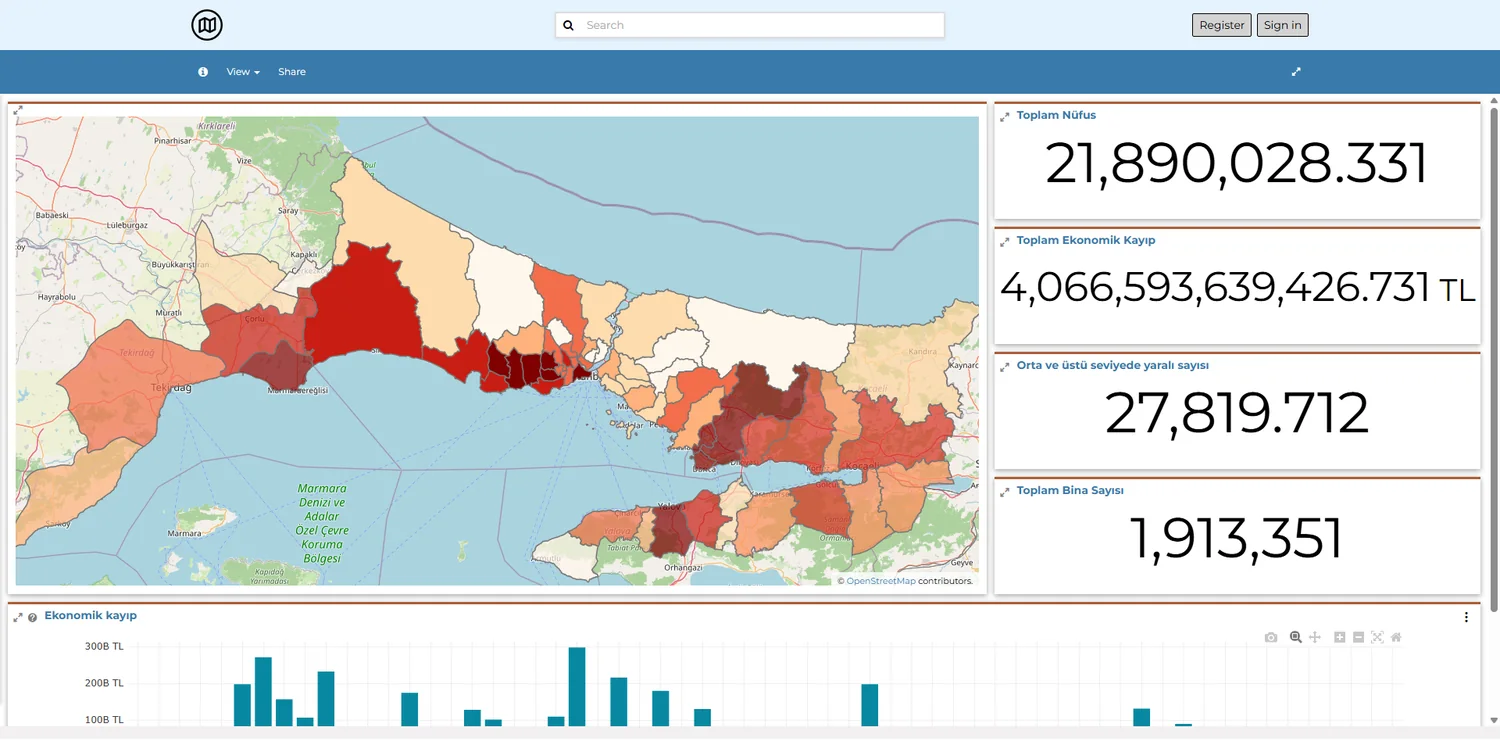
Connects datasets, documents, maps, dashboards and project content in one regional information environment.
Explore platform →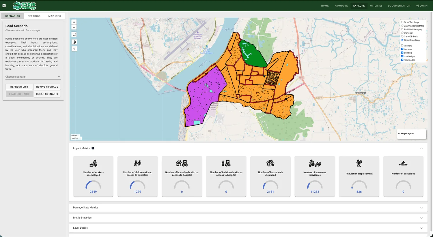
Shows how structured research inputs can flow into an interactive application for multi-hazard and future-city analysis.
Explore application →Searchable datasets with ownership, descriptions, licensing, coordinate systems and update information.
Validation rules, transformation routines and quality reports make each update easier to check.
Databases, APIs and services are configured for the GIS applications, dashboards and exports your team uses.
Share your current sources, update needs and the systems your team works with